WEB INTERFACE
Web GIS is defined as any Geographic Information System that uses Web technology to communicate between components. Web GIS is synonymous to a distributed information system. A Web GIS should at least consist of a server and a user, where the server is a Web application server, and the user is a Web browser - either through a desktop or mobile application.
The server has a URL so that users are able to find the Web Interface from the Internet. The user relies on HTTP specifications to send requests to the server. The server performs the requested in GIS operation and sends a response to the user via HTTP. In addition, the format of the response to the Web browser user can also be done in the following formats: HTML, binary image, XML (Extensible Markup Language), or JSON (JavaScript Object Notation) (GIS in the Web Era, n.d.).
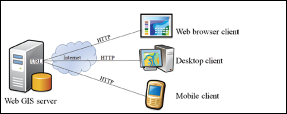
A Web GIS consists of a Web application server and a user, which can be a Web browser. The server and the user communicates through HTTP
However, the Department’s Web GIS architecture consist of a three tier user/server Web GIS mode architecture system, which is divided into three levels of function logic. The three levels consist of the following: the first level consists of the user interface; the second level consists of GIS transaction processing business logic; and the third level consists of GIS spatial data storage (Luqun, Jian & Yu, 2002).
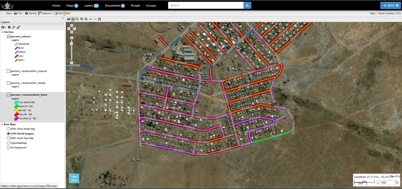
The Web Interface