Resource metadata
Metadata needs to be captured for every resource loaded into the GIS, be it a layer, map or document. The metadata facilitates quick searching and filtering of information, allowing users to find datasets that closely meet their needs. Metadata also provides the ability to evaluate identified resources according to fitness for purpose as each dataset will have information about temporal extent (time period the dataset is applicable to or its recentness) and a measure of data accuracy.
Edit Metadata
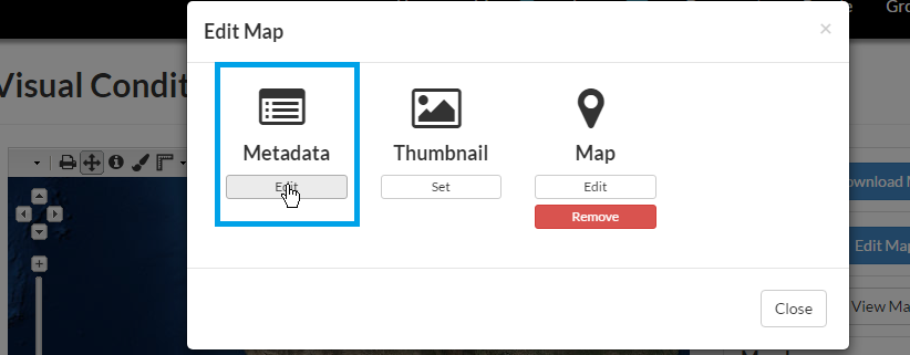
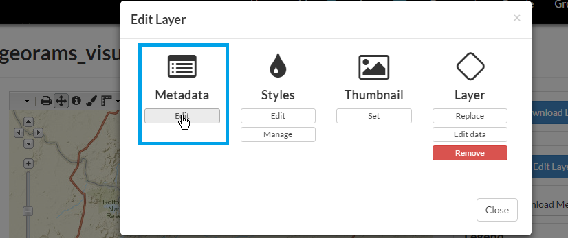
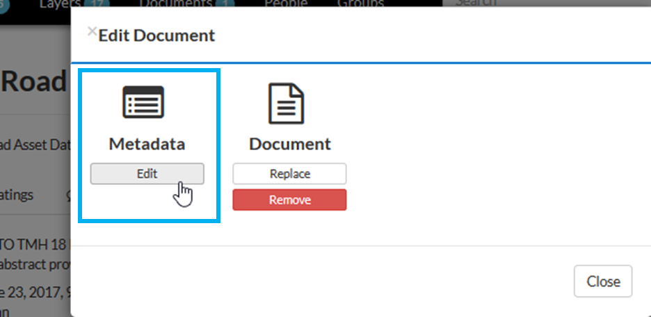
From a resource Detail view, click on Edit Map/Layer/Document. Click on Edit under Metadata in the popup window.
Populate the various metadata fields. Fields denoted with NB! must be populated.
NB! Resource Title

NB! Resource Date

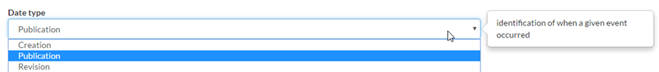
NB! Date Type
NB! Edition

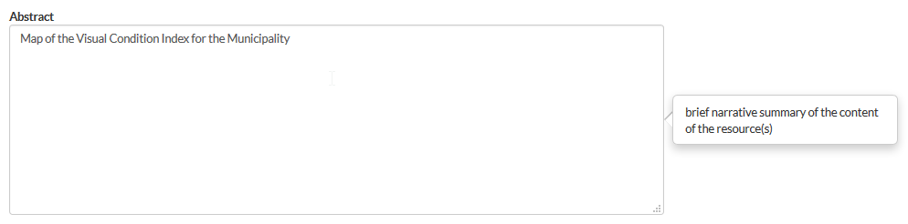
NB! Abstract (Description)
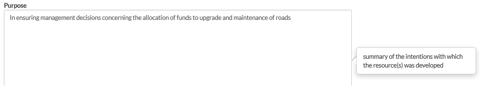
NB! Purpose
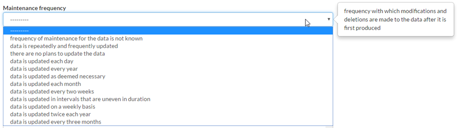
NB! Maintenance Frequency
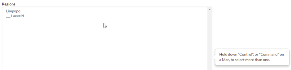
NB! Region(s)
Restrictions

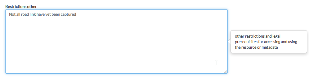
Restrictions (Other)
License

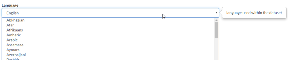
Language
Spatial Representation

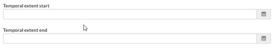
- NB! Temporal extent (Date range to which the resource applies
- e.g. yield stats for 2014)
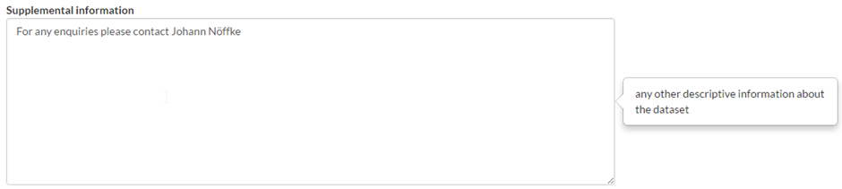
Supplemental Information
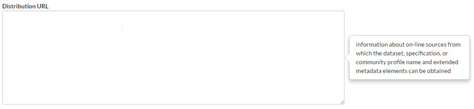
Distribution URL
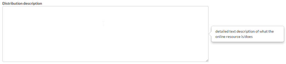
Distribution Description
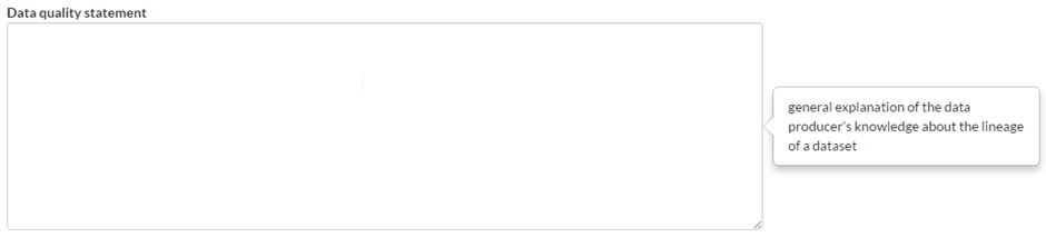
NB! Data Quality Statement
Feature Resource on Home Page?
NB! Is the resource published in the GIS Interface?
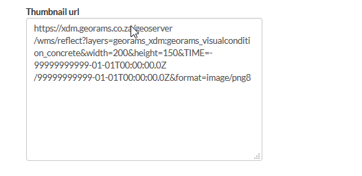
Thumbnail URL
Site URL

Featured Map URL

NB! Keywords

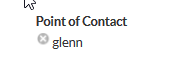
NB! Contact person for the resource
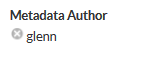
Author/ Maintainer of the resource’s metadata
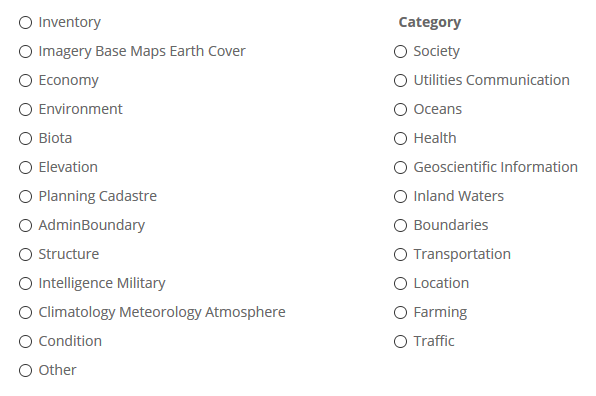
NB! Resource category
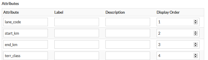
Layer attributes (Layers only)
Add Metadata Topic Categories
In order to Add Metadata Regions, the Admin Interface must first be opened.
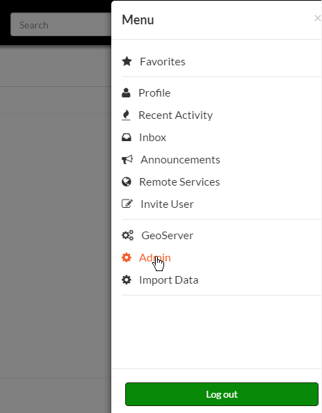
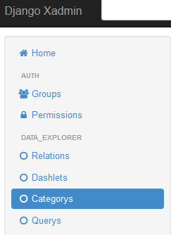
In the Admin Interface, select Categorys.
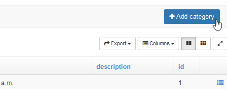
Click Add category in the Metadata Categories window.
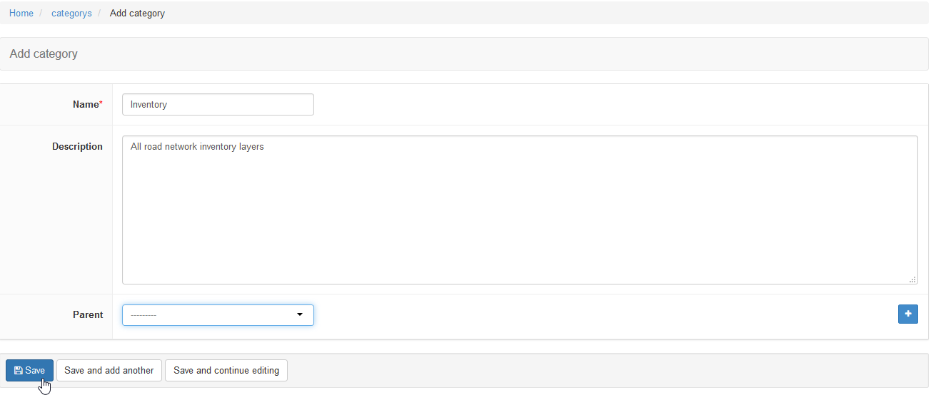
The add category window will open, wherein the following fields will need to be populated:
- Name (must be one word),
- Description, and
- Parent
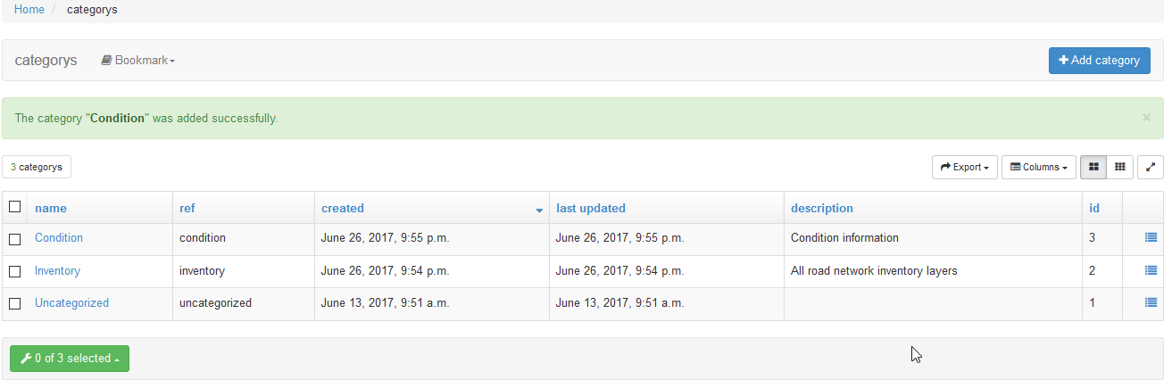
After these fields have been populated, you can click Save.
The new category will be added to the list of Metadata Topics.
When editing a resource’s metadata, the new category will appear as a radio button.